Showing posts with label peak. Show all posts

Thursday, October 5, 2023

Two Days in Pirin. Mt. Vihren

We spent the night at Bunderitza hut and early in the morning left the room, took our luggage back to the car at the Bunderitza parking lot and started on the 2.5 km trail to Vihren hut. There we had our breakfast and prepared for the real climb ahead.

This was my second climb of Vihren after our first hike there in 2015. In the meanwhile I've climbed many other peaks, plenty of them even more than once, but Vihren was and still is the most difficult peak I have climbed. The elevation gain is massive - 1120 m along a very rugged rocky terrain. The trail is steep all the time and the tricky rocky paths make the descent from the peak also tiring and difficult. The gradient of the last slope reaches 45 degrees and the last km of the track is a true trial for the tired legs. However, the euphoria from the climb of the peak and the gorgeous views all around not only make it worth it, but in the end force you to want to repeat the adventure.

It would have been better, from a tactical point of view, to climb Vihren the first day, with fresh legs, and leave the lakes for the second day. However, the weather conditions the first day were not the best for Vihren and I think we made the right decision to leave the big hike for the sunny and warm Saturday. The weather just couldn't have been more perfect for the high mountains.

Vlachini lakes, most of the trail is behind us. Here we had a small break with some power snacks in preparation for the final climb.
The last slope is a true beast - there are only stones, no clear path and a killer gradient. The chain of Pirin's marble giants and the famous saddle Koncheto between Banski Suhodol and Kutelo.
Tired but happy on the peak

Hike info:

Destination: Mt. Vihren 2914 m
Mountain: Pirin
Total length: 17 km
Elevation gain: 1120 m
Total duration (plus picnic and rests): 6:30 hours
Average difficulty: 8 / 10

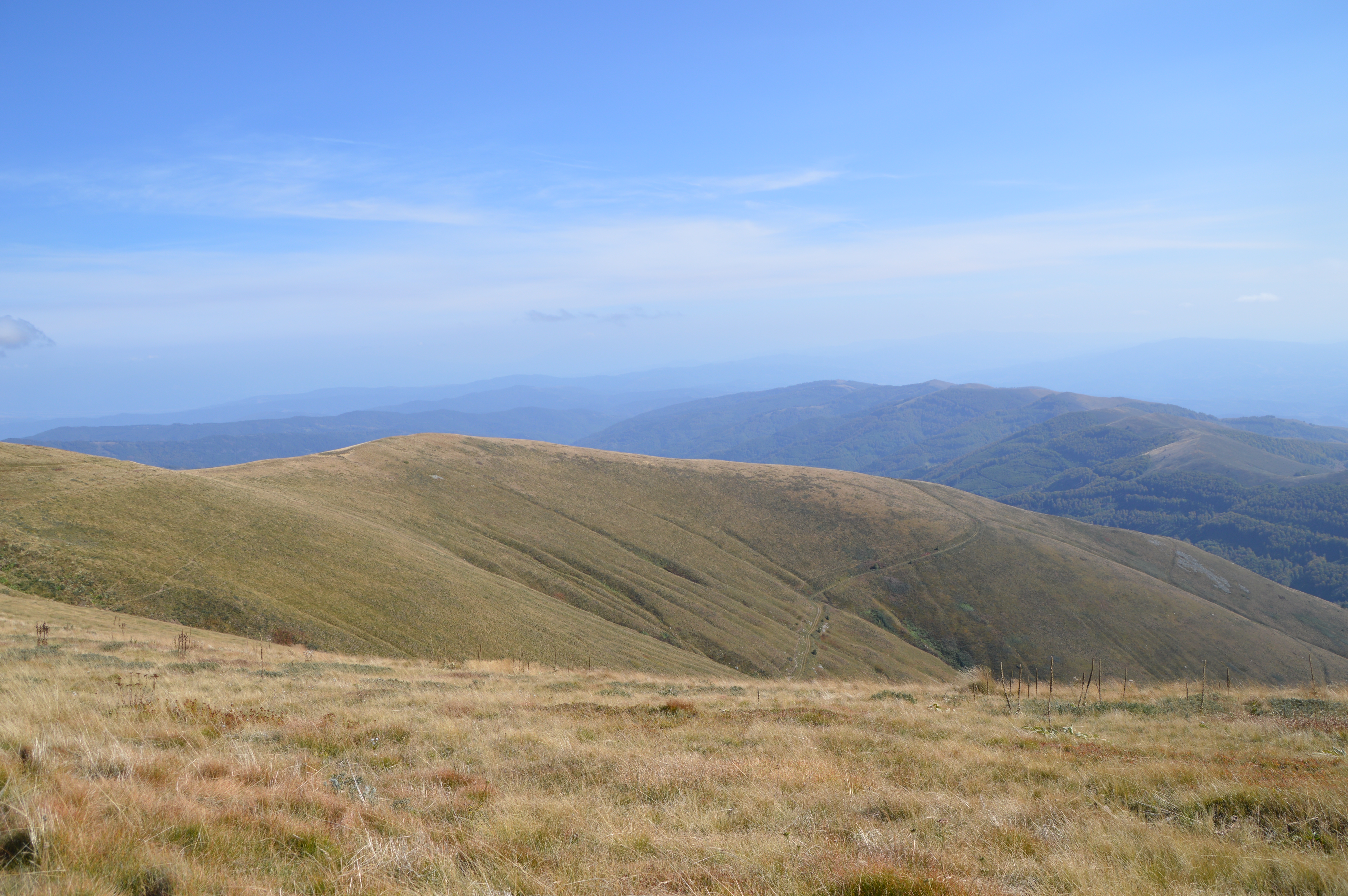
A view to many of Pirin's peaks and two of the lakes - the Fish lake and the Long lake, that we had hiked the previous day
The return is along the same track
Early in the afternoon the biggest of the Vlahini lakes was beautifully sparkling in the sun

Me-made items, worn on this hike:

Husband: boxer shorts, Knitpick cargo pants
I: lingerie, raglan Burda blouse

Peak Todorka and Vihren hut down at its skirts

Wednesday, October 7, 2020

Ruen 2020

Six years ago in August was our first climb of peak Ruen in the Osogovo mountains. Then I called it ultimate hiking, as the 27 km trail to and back from the border peak was a truly extreme exercise for the four of us. I absolutely fell in love with the soft, grass covered hills of Ruen, but the length of the track and the need for a night's accommodation had prevented us until now to repeat the hike.

Six years later we are older, but wiser - we know what to wear, we have GPS and maps, we know how to distribute our efforts, we know the trail - and what a difference all that experience and knowledge made! Now I'm looking forward to our next climb of Ruen, as I love this route!


Hike info:

Destination: Peak Ruen
Mountain: Osogovo
Total length: 27 km
Elevation: 580 m
Total duration (plus picnic and rests): 8 hours
Average difficulty: 7 / 10


Sunday, December 31, 2017

Peak Tumba from Planinitza

Our last hiking trip for 2017. The last days of December this year were so nice and sunny, that we just couldn't miss the opportunity for another gulp of fresh air in the open. We've been trying new trails in the otherwise near and known to us mountains and for yesterday we chose the low mountain of Cherna Gora and its summit Tumba. We've been in Cherna Gora at least three times before, but always from the west, from the village of Gigintzi. Yesterday we explored a trail from the opposite direction, from the village of Planinitza and it turned out to be an excellent and easy route to the peak, with marvelous views to the mountains around on all sides. The only downside of the trail - there isn't a good alternative to this route from the Planinitza village, so it was one of those to and back routes along the same track, a total of 13 km.

:The day started a bit cloudy and coldish, with only a couple of degrees above zero C. There was some fresh snow along the tracks
:This region is very mountainous and in every direction there are hills and valleys with villages and towns

:Around noon the clouds cleared and the sky was brilliantly blue - sun in winter is such a joy!
:The northern part of peak Tumba was magnificently covered in frost

: On Tumba, the summit of Cherna Gora mountain (only 1129 m)
: In the distance, covered in snow above the low mountains is Vitosha
: Like a mountain in the sky, the white peaks of Rila, the highest mountain on the Balkans, are high in the clouds
:The fields of Planinitza to the east
: The mountains of Kraishte to the west
:Vitosha in the distance

:The village of Planinitza down the valley


Tuesday, October 4, 2016

Malyovitza, Rila Mountain

A few snapshots from our latest hike in the Rila Mountains - on Saturday we climbed peak Malyovitza, one of the highest and currently one of my most favourite peaks.

The picturesque valley of the Malyovitza river with the peak in the center


Near Malyovitza Hut, where we had our lunch


The valley of Malyovitza river

The path runs over the stones which makes this hike fairly difficult for most people

The biggest of the three Elenini lakes


There was some fresh snow along the slopes of the mountain

Rila Monastery in the distance

The views from the ridge


Husband and I on top

The sea of Rila peaks

Down the "path"

Malyovitza river