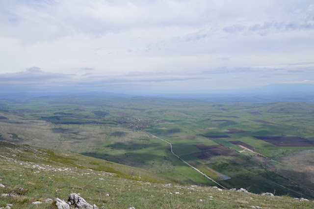
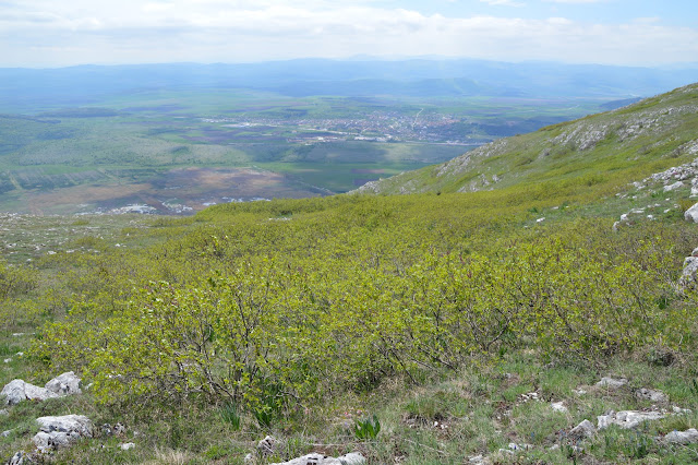
Last Saturday, after a spell of 10 days of truly hot weather, was a bit colder, cloudy and most of all - windy. And as much windy as it was in Sofia, in the mountains it was 1000 times worse, especially along the open ridge of Chepun mountain, where husband and I chose to have our hike. The mountain was green and with lots of interesting flowers in bloom and the views of numerous other mountains and green fields in sight, but the wind was brutal and punishing, especially on the top. Probably we should have chosen a more sheltered trail, but ...
The beginning of the trail - it is easy to follow and not very long, some 4 km in one direction. We've hiked Chepun before and the previous times we tried to make the hike circular, climbing the peak from the Dragoman marsh and descending along the marked trail along the ridge. However, the alternative trail from the marsh has been abandoned and is no longer usable, so this time we went up and dowm along the same trail.
The most notable endemic plants of this mountain - the wild almond bushes and the wild purple irises in bloom.
I've seen other wild irises on our mountains, but these purple irises are definitely the most beautifulA view from the top towards the fields and the village of Dragoman
The Dragoman marsh, a protected wet area, a habitat of many birds
The wild lilac bushes, of which there was an entire mini forest, were just about to bloom
A view in the opposite direction, to the Balkans and probably some Serbian mountains - Dragoman is quite near the border with SerbiaOn top of the mountain - peak Petrovski krust (1206 m)After we descended from the peak, we went to the Dragoman marsh. A few years ago there were wooden paths and an observation tower, but in 2020 there was a big fire, which burnt 80% of the vegetation and the structures of the marsh.
These are the only remains of the paths for observation of the marsh that were once built here. However, unlike human-made structures, which have not been rebuilt, nature has almost completely recovered after the fire.We walked a little around the marsh and though we could hear some of the birds, there was not much to be seen in the reeds.


Ooh, that fuzzy catapillar. Is that just a cross stone marker or is someone actually buried there? I like how the trail has the infograph so ppl will get an idea of what sights they'll see.
ReplyDeleteThank you! The cross stone marker is a consecrated cross, placed in XIX century to mark the place of a monastery, destroyed by the Ottomans. The place has been considered sacred for centuries and before the Christians it was a pagan temple, the ruins of which can still be seen carved in the rocks on the peak.
Delete