A short reportage from our hike last Friday to peak Kecheko on Vitosha. The peak is just half a kilometer away from the Blue Arrow shelter, and though we hike there almost every year, we hadn't been to that peak.
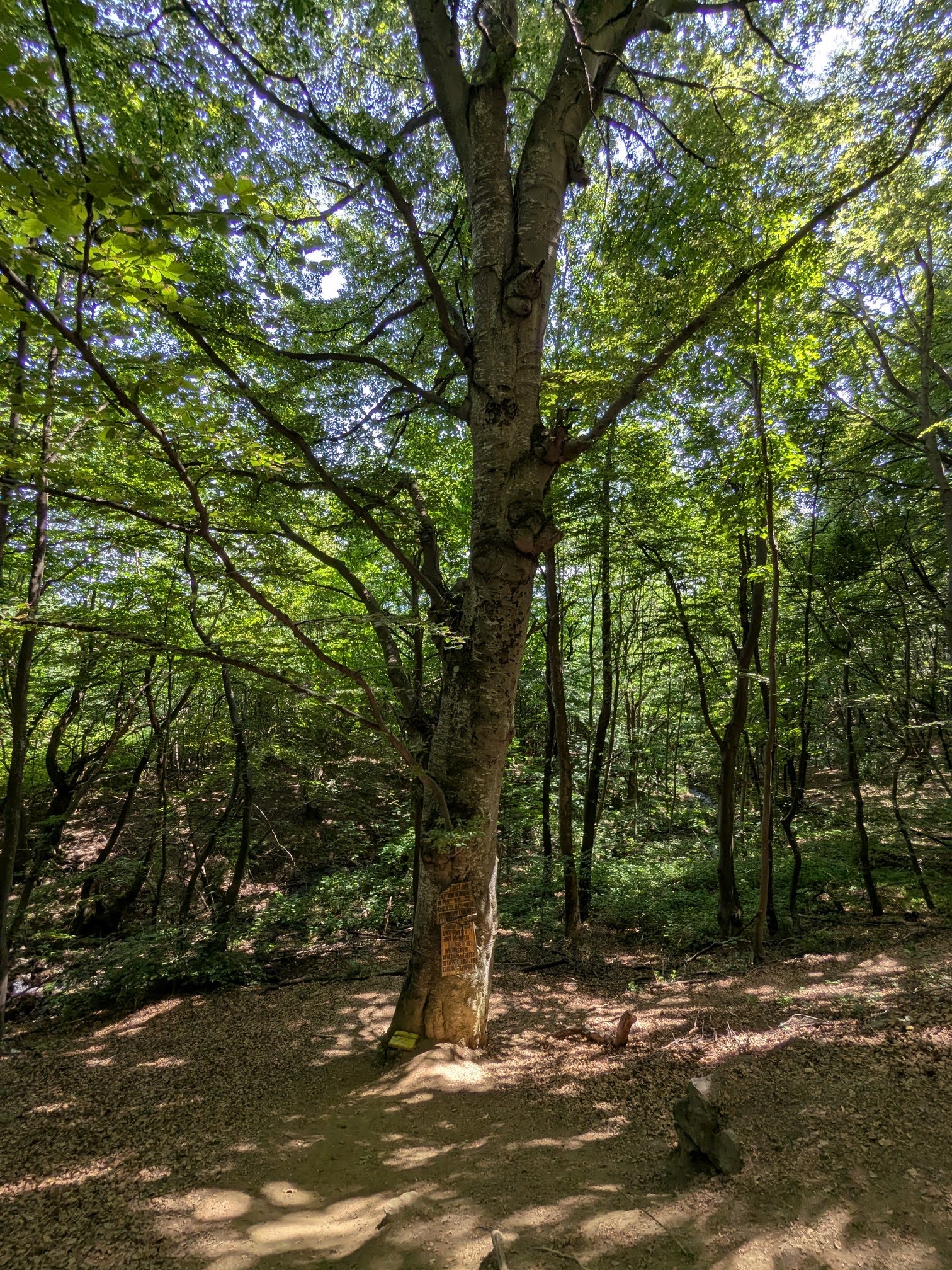
The day was gorgeous, sunny and warm and the trail was completely devoid of people.
Hike info:
Date: 17 April 2026
Destination: peak Kecheko (1639)
Mountain: Vitosha
Total length: 12.5 km
Elevation gain: 550 m
Total duration (plus rest): 4 h
Average difficulty: 4 / 10
To make things more interesting, we tried a couple of new tracks,
following the map on our app. This turned the hike a couple of
kilometers longer and made the climb easier, stretching it over
meandering paths, instead of straight up.
The higher we went, more back in season we got. The mountain flowers in bloom were hellebores, squills and crocuses and after the 1500 m altitude line the first snow patches appeared. The snow cap above the 2000 m is very significant this year and given the cold spring and the amount of snow, it will probably keep till the end of June, if not longer.
The trail is very nice and pleasant to hike, but the altitude gain is substantial for such a short hike, even with the longer route.
The Blue arrow shelter
On peak Kecheko, which is actually a few dozen meters lower than the shelter
Me-made items, worn on this hike:
Husband: men's boxers, Burda cargo pants, Burda longsleeve, knitted socks
I: lingerie, Sinclair Lotte blouse, legwarmers
We had our tortillas, beers and hot coffee here, on a meadow under the peak, with a view to the villages in the valley, next to a big snow drift. The wind on the peak was strong and cold and the vibe was much more winter-y than spring-y.
Peak Kecheko, seen from the trail to Belchova skala
On the way back we took almost entirely alternative trails, to explore the region more fully. I picked a handful of young nettles, which I plan to cook with shakshuka tomorrow.
Very satisfying hike and definitely a good exercise :)