Showing posts with label Urvich. Show all posts

Friday, February 14, 2025

Urvich 2025

As planned, this week we travelled to Kokalyane again, but this time we hiked across the road, in the Lozen mountain, around the Urvich fortress.

The day was sunny and even pleasantly warm (6-7 C). Because the gorge of the river Iskar there lies in the shadows of the two mountains, the river was still frozen and the ground was still partly covered with snow.

The path at the beginning of the trail was cleared of debris and fallen trees and easy to walk. I believe this is the path that most visitors to Urvich know and walk and I wouldn't be surprised that a lot of people do not even suspect the existence of other walkable paths around.

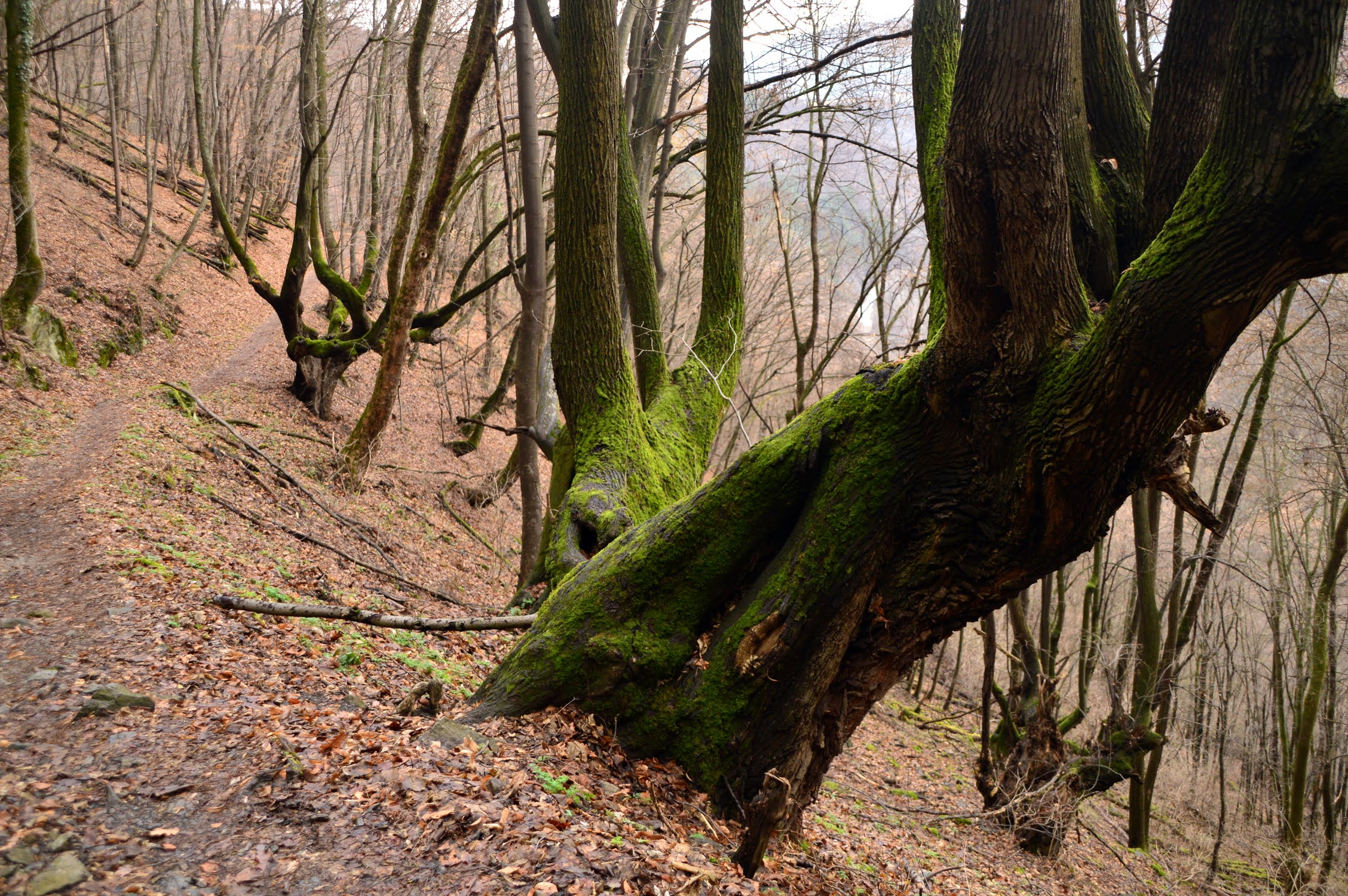
After the detour for the monastery, the path seems abandoned, with lots of fallen trees, blocking it and requiring going around. To be honest, it had a very Blair witch vibe today and gave me a bit of the creeps.

Hike info:

Destination: Urvich
Mountain: Lozen
Total length: 6 km
Elevation gain: 90 m
Total duration (plus picnic and rests): 2 h 30 min
Average difficulty: 2.5 / 10


Me-made items, worn on this hike:
 
Husband: men's boxers, Burda cargo pants, Burda longsleeve, Burda hoodie, hat, (scarf in the backpack)

I:  socks, lingerie, Grasser sweater, Central Park hoodie, CC copycat hat, gloves, (scarf in the backpack)

I was just commenting with husband, that there were still no spring flowers on Kokalyane and Urvich and we came upon these snowdrops and hellebores :)

After doing the full circle around the hill and returning back to the river we followed the hidden path along the rocks to the Urvich fortress. We found this path last time we were here and it is probably the most exciting part of the hike.


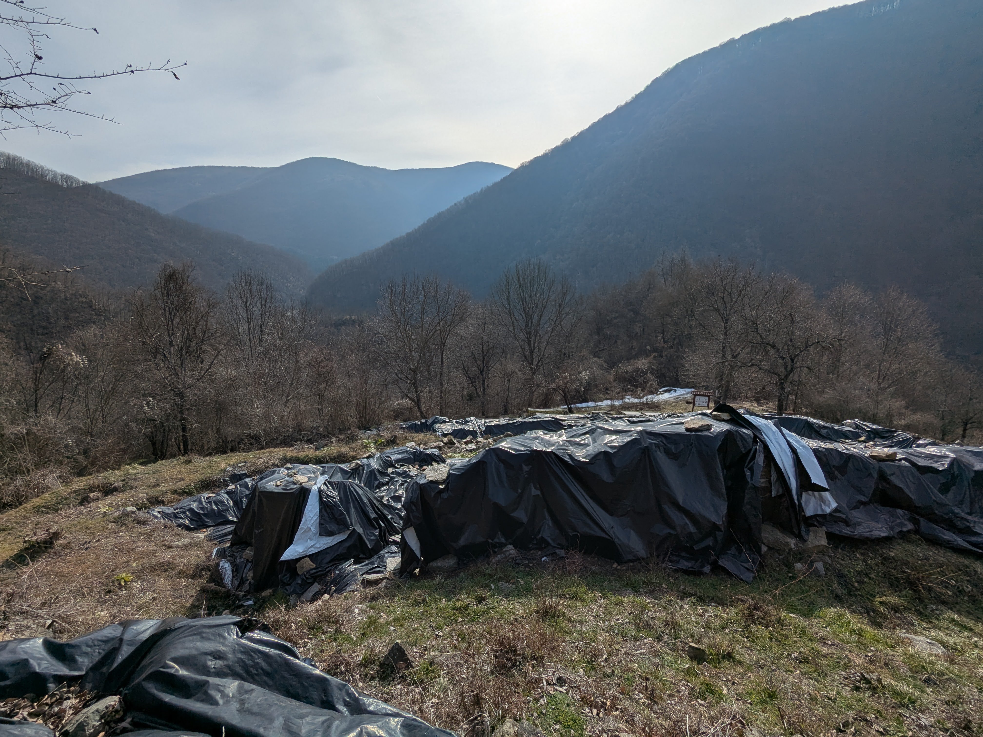
The excavations of the fortress were closed and covered for the winter season, but the works have gained some progress over the past three years since we were here.


The grounds of the Urvich fortress are now like a museum in the open, with a number of information boards, elucidating the history of the place and the unearthed artifacts. This was definitely the most interesting and informative part of the hike.


After visiting the excavation works we went down and then up the opposite hill to the functioning monastery, where we had our lunch on one of the sunny benches. It was a short but nice hike and I am so glad we chose Urvich for our visit today.


Monday, January 23, 2023

Kokalyane

Yesterday was probably the last of the mild spring-like January days this year, with temperatures above +10C. The forecasts for the coming fortnight unequivocally speak that winter is finally coming and the temperatures are expected to fall in the range of -5 to +2, which isn't that bad, but still - not a spring weather yet.

For our weekend hike we chose a new trail not far from home - to the Monastary of Kokalyane and then up to the ridge of the mountain to the Sacred Oak place.

The trail starts from the so called Devil's bridge, a stone bridge over the Vedena river near its inlet into the river Iskar.

The trail to the monastery is narrow and steep, about 2.5 km long.
Hike info:

Destination: Sacred Oak  (1080 m) round trail
Mountain: Plana
Total length: 8.5 km
Elevation gain: 450 m
Total duration (plus picnic):3 h
Average difficulty: 4 / 10

The forests in this part of Plana mountain consist of many oak trees, some hundreds of years old.
Right across the road and the river Iskar is Lozen mountain and the Urvich fortress. Here and there among the trees we could glimpse the on going excavation works there.

The Monastery of Kokalyane is one of the 14 monasteries that were built around the city of Sredetz (old Sofia) during the medieval times. The whole place was called The Sredetz Sacred Mountain (Sveta Gora), by analogy with the Monastic Community on Mount Athos in Greece.

We had a quick glimpse of the monastery grounds and the church and continued our climb up the narrow path to the ridge of the mountain.

Although the trail is not long, some 5 km from the bridge to the meadows on the ridge, the slope is steep and the elevation gain is significant. We quickly found ourselves again swimming in sweat and took off our jackets.

The change of view on the ridge was so impressive - after the steep narrow trail in the thick oak forest we were suddenly walking along level paths by yellow-brownish meadows.

Vitosha looming on the horizon.
An old oak tree. A few meters away from it lived one of the oldest trees in Bulgaria - The Sacred Oak (Кръстатият дъб) - over 1000 years old. Unfortunately in 2010 it was destroyed by treasure hunters, who dug up its grounds in search of gold and the tree fell soon afterwards :(

Me-made items, worn on this hike:

Husband: boxers, orange hat, Fire socks
I: lingerie, Grasser blouse, cat hat, Borika gloves, knitted socks


We had a quick lunch on the meadows and headed back to the Devil's Bridge, following an alternative path through the forest.


And back to the river Iskar

Monday, January 10, 2022

Urvich 2022

After some truly spring-like days mid-week, with temps in the range of 13-15C in Sofia, the eternal pessimists and misanthropes at weather.com forecasted doom and rain on the weekend. Luckily, as it is often the case, they were wrong and Sunday was warm and sunny (for January in Sofia) and we packed our backpacks and went to Urvich - a place in Lozen mountain with the ruins of the medieval fortress Urvich, as well as a functional monastery on the other side of the hill.

:The start of the ecotrail is marked by the memorial of the Construction troops, who paved the road from Sofia to Borovetz during the first half of the last century.

:The river Iskar, which runs between the mountains Plana and Lozen
:The path from the memorial to the detour for the monastery was wide and clear

:However, several years ago there was a big storm in the region and dozens of trees were broken and fell, blocking the path. For some reason, the authorities have decided not to clean the path after the detour for the monastery, so it has been abandoned by tourists and getting wilder and less passable. 

:Of course, that didn't stop us from walking it all the way, closing the circle back to the river. In a way, this was probably the most interesting part of the hike. The trail is circular and there is actually a hidden path uphill that closes the circle and leads to the beginning of the trail. It is amazing how many people visit the place and don't actually know that the trail doesn't stop at the monastery.


:A private villa (?!) built on top of the hill near the ruins
:After making the full circle of the trail we climbed up the path to the excavation works.

:Most of the ruins were covered for the winter, but the works have progressed greatly during the four years we hadn't visited the place and have now reached the citadel on top of the hill


:The place was strategic for the protection of the city of Serdika (now Sofia), as it lies on the only path between the mountains Lozen and Plana.


Me-made items, worn on this hike:
 
Husband: men's boxers, Knip Mode cargo pants, knitted socks, hat, (scarf in the backpack)

I:  socks, lingerie, Copper Cables sweater, CC copycat hat, Borika gloves, (scarf in the backpack)


:The whole hike was up and down, up and down :) After we climbed to the citadel, we went back down to the main trail and then climbed the hill across up to the monastery, where we had our lunch.

Hike info:

Destination: Urvich
Mountain: Lozen
Total length: 7 km
Elevation gain: 90 m
Total duration (plus picnic and rests): 2 h 30 min
Average difficulty: 2.5 / 10

:After our lunch we went down to the main path again and and had almost reached back the river, when we noticed a path up the hill. We decided to follow it and to our amazement it took us up to the fortress and the ruins along an alternative route. This place is so amazing, every time we visit we find something new about it!