Showing posts with label Петрохан. Show all posts

Sunday, August 27, 2023

In the Balkan Mountains

This summer is definitely one of the hottest I remember. Not so much in absolute temperatures as in the consecutive number of hot and dry days. Other summers we would have a spell of two hot weeks and then, given that Sofia is at the foot of a high mountain, surrounded by mountains from all sides and with relatively high altitude (600 m), the summer would get wetter and cooler. But not this year. Even in the altitudes above 2000 m it was hot and dry.

Thus our adventure in the Balkan mountains would be remembered as a surprisingly difficult hike in the heat, where we quickly found that we have to ration our water and still sip by sip we finished it some 6 km before any fresh water source and we seriously dehydrated at the end of the hike. Guess what happened yesterday on our latest hike (to be blogged soon, hopefully) - we returned to the car with more than 2 liters of water to spare, we definitely overpacked :), but better safe than sorry.

At the beginning of August we drove to Petrohan mountain pass in the Balkan mountains and walked the trail to Todorini kukli peak - a range of four mountain peaks with small saddles between them.

Part of the trail runs along the ridge of the mountain, with views to the north and the south of the Balkans. It's really amazing and cool and this part is fairly easy, with gradual elevation gain.
Unlike Rila and Pirin, the Balkan mountain are greener, with pastures and forests, but with much less rivers, lakes and springs. There were no fresh water sources along the entire trail.
The range of peaks of Todorini kukli
The second of the Todorini kukli peaks. We went up and down and then up again along all four of them
The peaks height starts from 1785 m and gradually descends to 1672 m at their highest points, with saddles, where the altitude drops, so we had to go steep down and then steep up again.

Me-made items, worn on this hike:

Husband: boxers, Grey Burda hoodie
I: lingerie, Sabrina Slims

Hike info:

Destination: Todorini kukli (1785 m)
Mountain: Balkan mountains
Total length: 21 km
Elevation gain: 385 m absolute altitude gain, no idea how much in accumulative altitude gain, a lot
Total duration (plus picnic and rests): 8 hours
Average difficulty: 8 / 10 

On the last of the peaks. Here we had our lunch and decided to make the hike circular and explore some trails on the map, that were off the popular track. Given what we know now, I don't think I would recommend that.

The track lead us steeply downhill, and though it was present on the map, the trail was actually only imaginary, along stones and through high grasses, until we reached some forests.. There we found an old trail, that could be fairly easily followed.
After the forest the trail gained quickly all that lost altitude again, so it was as if we climbed the first peak twice, once from the south and then again from the north, along barely discernible paths in the grass, through dwarf mountain pines, until we reached a crossroad with the original trail.
It was an epic adventure and I hope it will teach us never to underestimate the heat, especially along open trails in the summer and always to bring enough water and not to rely on eventual water sources on the way.

Sunday, June 25, 2017

In the Balkans - Mt. Kom

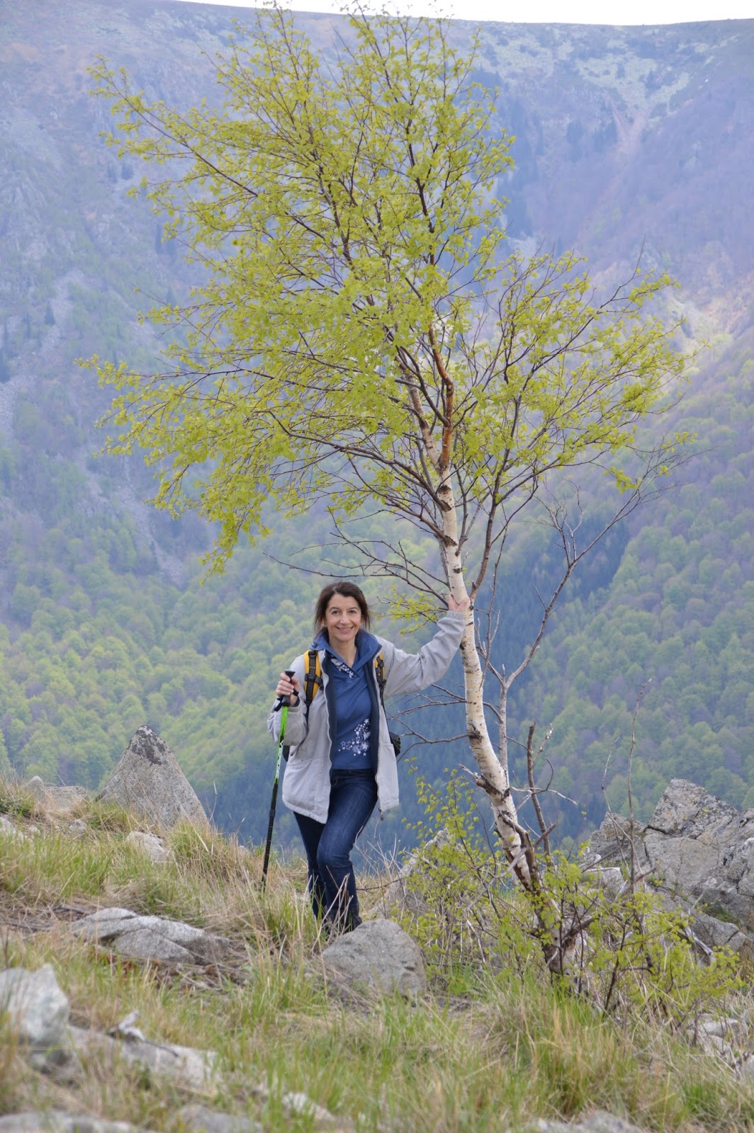
One of my picture heavy posts about our hikes :)
Yesterday we finally climbed Mt. Kom, starting from Petrohan pass - a 30 km hike, which we've been planning for quite a while, waiting for the perfect weather. Last Saturday we had prepared the backpacks, printed a description of the route and even Gaby was free to join us (which is rare lately, alas), but it rained all weekend.
Yesterday at last everything was right and we managed to make the 8 hour hike. It was great, I loved it! The close encounter with a deer and an eagle, the walk through gardens of wild flowers, the satisfaction of climbing the peak and the views from the top were so rewarding, these moments make me crave for our next hike.

До връх Ком (2016 м) от Петрохански проход и обратно

Общо разстояние: 30 км
Време: 8 ч. 20  мин. с почивки
Денивелация: 572 м

Началото на маршрута от Петрохански проход - тесен асфалтов път до тв станция Петрохан на връх Зелена глава. Ние оставихме колата в паркинг зоната на Петрохан, но тази част от вървенето, около 30 мин., може и да се спести, като колата се паркира до табелата в началото на горската пътека.

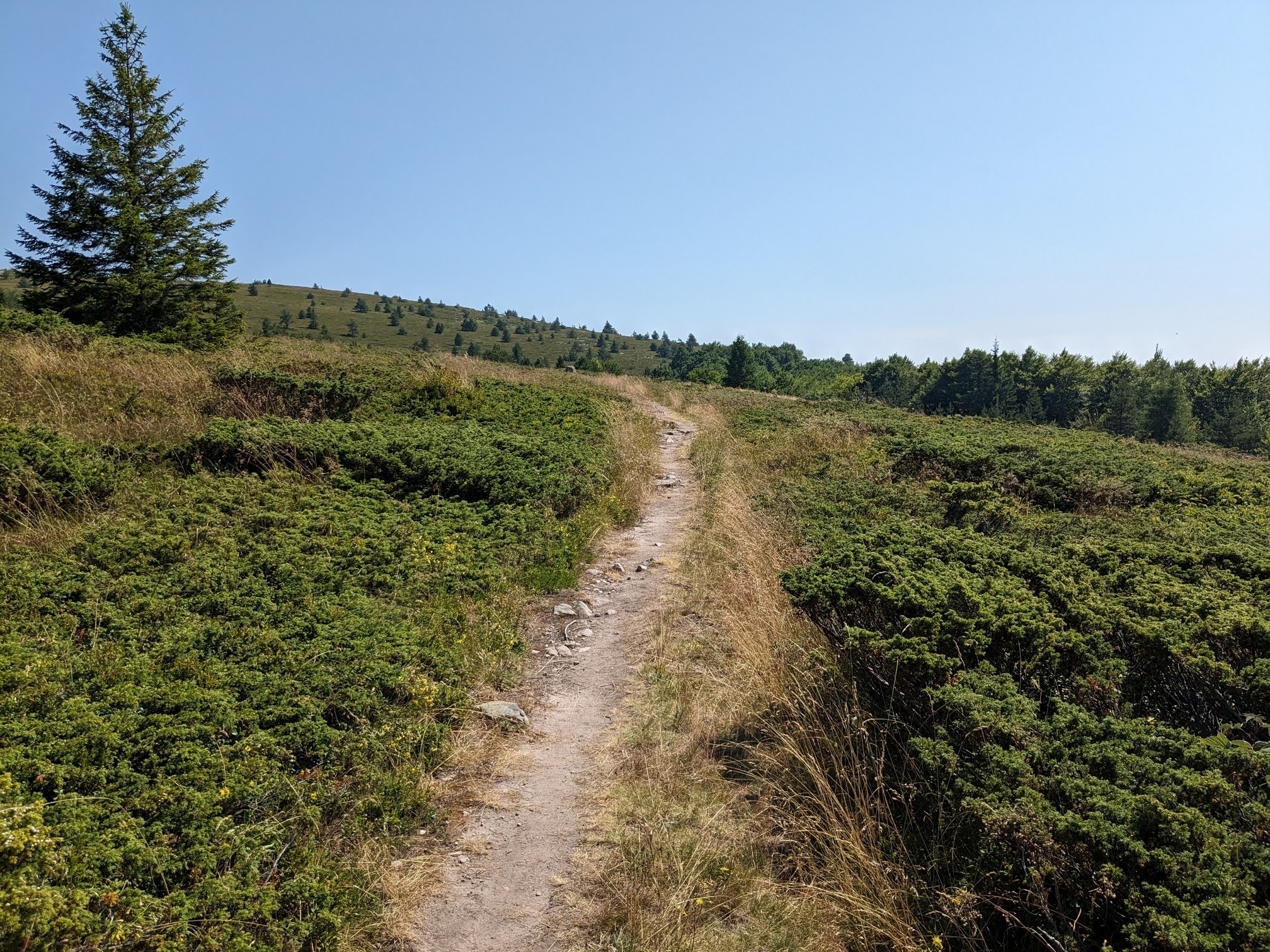
След 40 мин горската пътека излиза на билото и оттук са само треви, цветя и върхове.

Отсреща - Тодорини кукли, където бяхме миналата година.


Пътеката е широка и ясно очертана, тук там има и червена маркировка. За съжаление маркировката е крайно недостатъчна и липсва на ключови места, където пътеката се разклонява. Въпреки че имахме бегло описание на маршрута, ние успяхме да се заблудим и да вземем грешното отлонение вляво, което след 40 мин криволичене вместо към върха, ние смъкна в долината на река Нишава.


Надолу по грешното ляво отклонение. Очакванията ни бяха, че пътеката ще заобиколи влажната долина и ще ни изведе в подножието на върха.

Скоро обаче стана ясно, че се отдалечаваме от целта. Имахме два избора - да се върнем по пътеката до мястото на отклонението или да продължим към върха директно през долината. избрахме по-трудния, но по-пряк втори вариант - направо през тревите и цветята.

Долината на реката е като цветна градина. Напред и нагоре към седловината между Средни Ком и Ком.

Предимството да ходиш из пущинака - буквално на 2 метра от нас пробяга сръндак, отдалечи се на десетина метра и се обърна да ни изгледа.


А отгоре прелетя орел

След час щуро катерене през води и треви се добрахме до билото и се включихме в масовката от туристи по пътеката към върха. Тази част от маршрута е обща с пътеката от хижа Ком до върха. Ама то по пътеката всеки може :))
Поглед от върха


Барелефът на Вазов и пирамидката със знамето

Тук е началото на маршрута Ком-Емине

Откъс от поемата на Вазов "На Ком". В ръката си държа надлежно разпечатана цялата поема. Идеята беше да я изрецитираме на върха, но в горещия летен ден там се оказа преналелено с туристи (походът от хижа Ком над Берковица до върха е само около 1:30 - 2 часа).

Разбира се, изрецитирахме си я надолу по пътеката от върха. Беше яко, забавно и даже метафизично усещане!

Скрита картинка - открийте дроздовете. Два са :)
Петнист салеп

Ком, погледнат откъм подножието на Мали Ком


Отново поглед към Тодорини кукли

Един от притоците на Нишава и тв кулата на вр. Зелена глава.

В заключение - чудесен, рядко посещаван маршрут. Приятен, неособено труден, макар и дълъг, и с подходящата екипировка и информация (още по-добре GPS трак) спокойно може да се осъществи за ден и в двете посоки.

Sunday, April 24, 2016

In the Balkan Mountains

Yesterday we hiked in the Balkan mountains (the same that give their name to the Balkan peninsula), from the Petrohan pass to Todorini kukli peak, along the Kom-Emine trail. Walking on the ridge of the mountain is a gorgeous experience, with breath-taking views all the way. The hike was long but not too difficult, a true pleasure.

The plants along the ridge of the mountain are low - mainly grass and shrubs.

A view to the south

and to the north - peak Kom is the farthest in the distance peak on the picture

The weather was fine, with some sun in the morning, a few drops of rain in the early afternoon, ideal for hiking in the open.

We were together with the Sofia facebook climbing group, but as it is a free group, everybody hiked at his/her own pace.

Peak Todorini kukli - it is a group of four rocky peaks, the highest of which is 1785 m

Peak Kom in the distance

On top of the first of Todoriki kukli peak with some of the fellow hikers from the FB group, husband is taking the picture

On Todorini kukli

The other three peaks of the ridge. We climbed them all twice - forth and back

The views from the peaks were incredible, as far as dam Ogosta and the town of Montana (at least 35 km to the north)

The town of Berkovitza down the valley

Me on the third of the peaks

Part of the view from the forth peak - dam Srechenska bara and clusters of villages down the valey

On the forth of Todorini kukli peaks


For our picnic area we chose this young birch tree under the fourth peak with a wonderful view to the mountain and the valleys below

On a patch of snow on the way back

Meadows with purple crocuses between the peaks